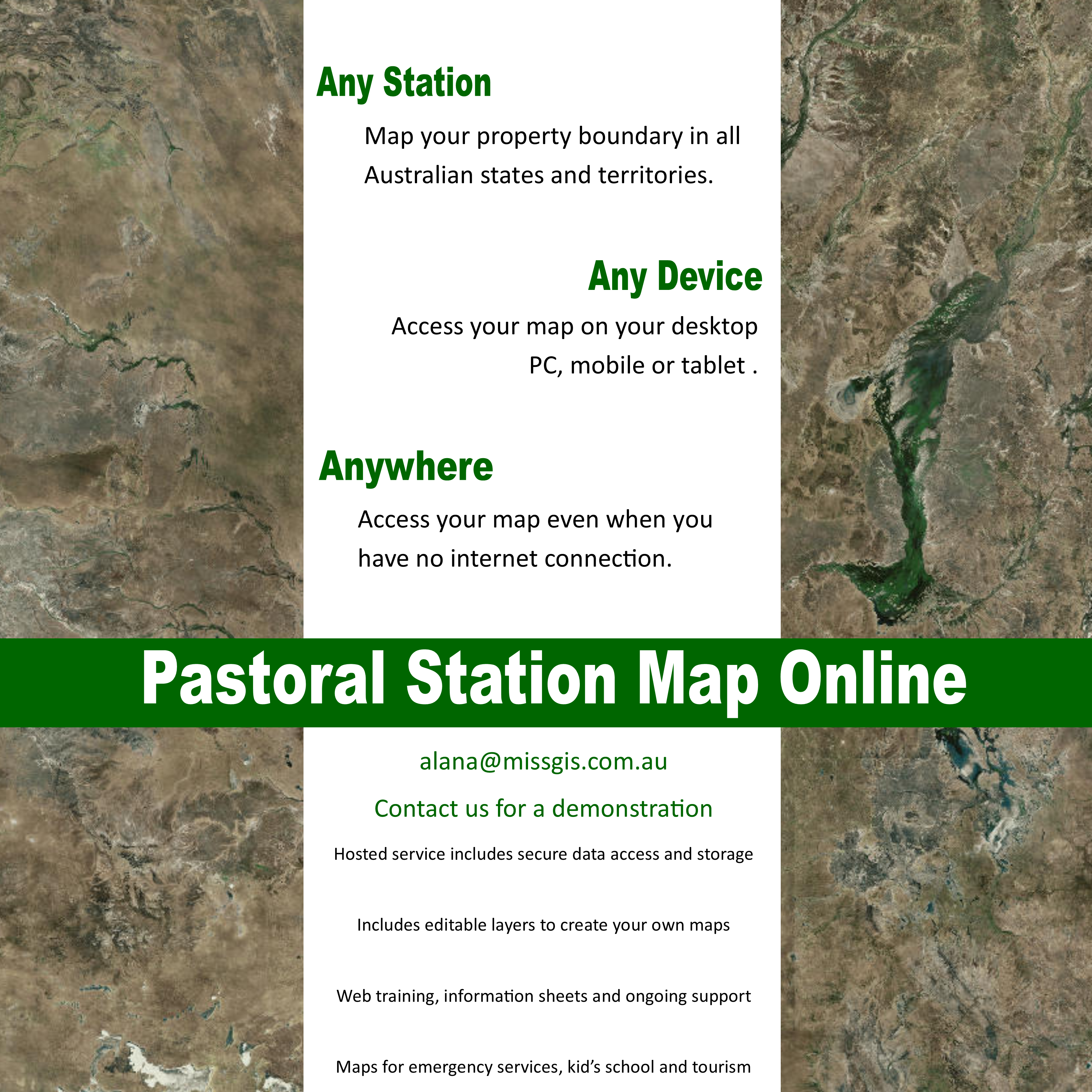
Pastoral Station Maps is an exciting new product that enables people on outback properties to view and create online maps of their station and infrastructure.
These maps include 3 editable layers that enables users to view and add their own data to create maps Anywhere, Any time and on Any Device. Online Maps are also available on mobile or tablets while offline in areas of poor or no internet coverage.
Maps can be used for locating assets and infrastructure, emergency service maps and are great for kid’s school projects.
Please get in contact if you would like a demonstration of how online maps could work for your pastoral property.
*Product launch discounts are currently available so get in before the end of February to get this product at a reduced price*